Drone tracking is the practice of maintaining a continuous, updating position on an unmanned aircraft as it moves through your airspace: where it is now, where it came from, and where it is heading. It is a fundamentally different capability from detection, and confusing the two is the most expensive mistake in counter-drone procurement. Detection tells you a drone exists. Tracking tells you what it is doing, which is the only information a security team can actually act on.
This guide covers how drone tracking works in practice: which sensors produce a track and what each contributes, how tracking systems hold a target through gaps and interference, how many drones a system can follow at once, what a track delivers operationally, and how to evaluate a drone tracking system against your site. It is the tactical companion to our overview of drone detection technology.
Detection Versus Tracking: The Distinction That Matters
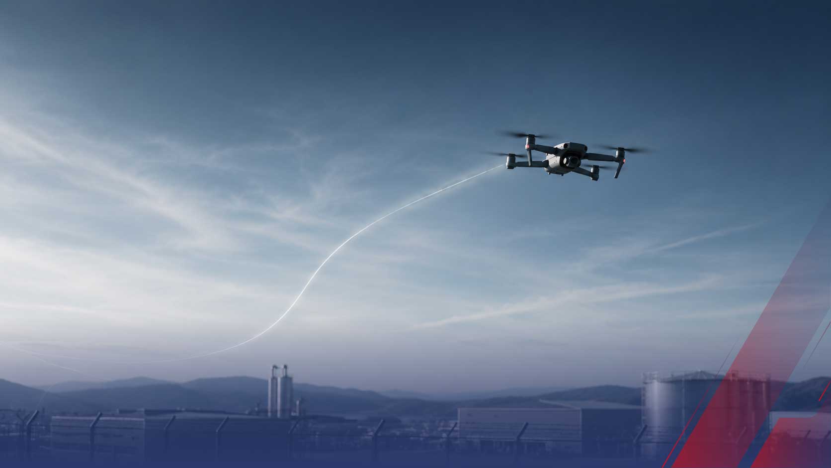
A detection is a moment. A sensor registers a drone, an alert fires, and the operator knows something is present. A track is a continuous line: the same aircraft, followed across time, with position, altitude, heading, and speed updated many times per second and its full flight path retained.
The operational gap between them is enormous. Two drones detected at the same coordinates look identical as isolated alerts. As tracks, one is transiting straight through on its way somewhere else and the other has circled your fuel storage three times in eight minutes. Only tracking reveals intent, and intent is what determines the response. This is the lesson Gatwick Airport learned in December 2018, when repeated drone sightings shut operations for more than a day: the airport knew drones were present and could not track them, so nobody could say whether it was one aircraft or several, where they were, or where the operator stood. Detection without tracking produced a shutdown affecting roughly 1,000 flights and 140,000 passengers.
How to Track a Drone: The Sensors That Produce a Track
Three technologies produce trackable data, and they contribute differently.
Radar delivers the continuous positional track. It measures range, bearing, and altitude on every sweep or revisit, building the coherent flight path that constitutes a true track. Critically, it works whether or not the drone transmits anything, which makes radar the only sensor that can track an autonomous or fiber-optic aircraft. Update rate is the decisive spec: a mechanically rotating radar sees a target once per rotation, while electronically scanned and staring designs revisit far more frequently and hold a track through erratic maneuvering. Covered fully in our drone tracking radar guide.
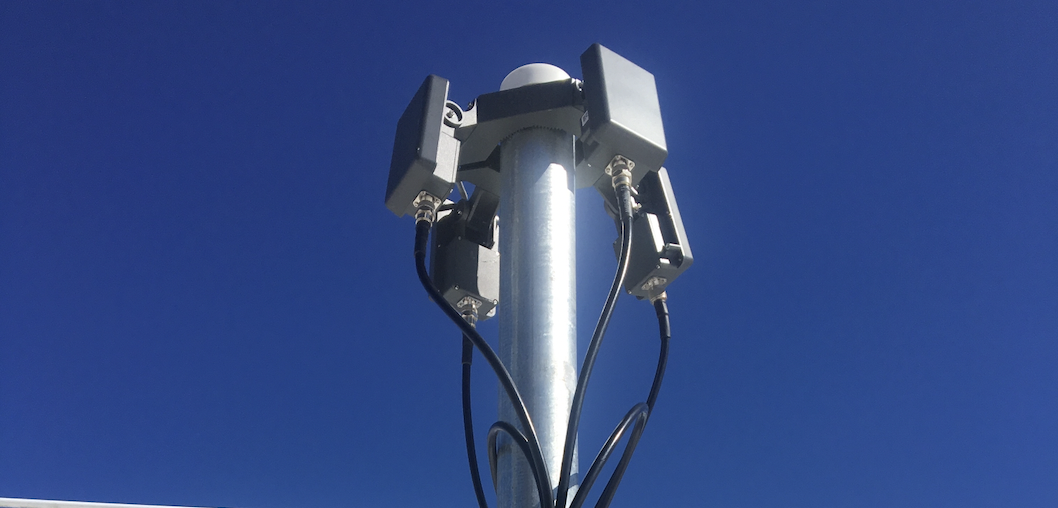
RF adds identity and operator position to the track. Radio frequency sensors cannot maintain a positional track the way radar does, but they attach the information radar never carries: the drone's make and model from its protocol signature, and, with direction-finding or TDOA across multiple sensors, the pilot's location. See our guide to RF drone detection.
Cameras confirm and record the track. Cued to coordinates by radar or RF, an electro-optical or infrared camera visually acquires the aircraft, auto-tracks it in frame, and produces the footage that supports enforcement. A camera cannot find a drone across open airspace on its own, which is exactly why the radar-to-camera handoff exists.
What Makes a Track Hold: Update Rate, Association, and Prediction
A track is not just a series of detections. It is the software's assertion that this detection and that earlier one belong to the same aircraft, and holding that assertion under real conditions is the hard engineering problem.
Three mechanisms do the work. Update rate determines how much a drone can move unseen between looks: slow revisit means large gaps, and large gaps break tracks on maneuvering targets. Track association is the algorithm that matches each new return to the correct existing track, which gets difficult fast when several drones fly near each other. And prediction, typically Kalman filtering, estimates where a target will appear next, letting the system coast a track through a brief dropout instead of losing it and starting over. The GAO has noted that detection technologies have limited ability against small UAS and that clutter and birds generate false detections; robust association and prediction are what keep those false returns from corrupting real tracks.
Tracking More Than One: Multi-Target Capacity
Real incidents rarely involve a single aircraft, and a system that can only follow one target at a time fails the moment it matters. Multi-target track-while-scan is the capability that matters here: the system maintains dozens or hundreds of independent tracks in parallel, each updated continuously, rather than dropping one target to look at another.
Two honest limits apply. Every system has a finite tracking capacity, and enough simultaneous targets will saturate it. And decoys work: cheap aircraft launched to consume tracking capacity and operator attention are a documented tactic. Multi-target capability raises the ceiling substantially, but no system is unlimited, which is one more argument for layered sensors and for asking vendors for a specific simultaneous-track number rather than accepting the word multiple.
What Real-Time Drone Tracking Delivers
A track converts an alarm into a decision. Concretely, it gives a security team four things a detection cannot:
-
Intent assessment. Loitering over a specific asset, repeated passes, and approach along a predictable corridor are behaviors visible only across time. They are also what distinguishes a hobbyist from a hostile operator.
-
Response coordination. A live track tells responders where to go now rather than where the drone was two minutes ago, and a fused track carries the operator's location when RF has it.
-
Evidentiary record. A complete flight path with timestamps supports FAA enforcement referrals, prosecution, insurance claims, and the legal remedies available to property owners and facilities.
-
Pattern intelligence. Tracks accumulated over months reveal recurring incursion times, repeat aircraft signatures, and preferred approach routes, which is the analysis that justifies budget and shapes sensor placement.
For agencies pursuing counter-drone authority, tracking data is also the legal foundation: the SAFER SKIES framework authorizes action against a credible threat, and a documented track is what establishes one. Our guide to drone mitigation and authorization covers how that evidence requirement works.
Where Tracking Breaks Down
Tracking inherits every sensor limitation underneath it, and buyers should plan for three specifically. Radar loses targets in the Doppler notch, where a drone flying tangentially produces too little radial velocity to distinguish from clutter. Small radar cross-section reduces detection range against micro-drones, shrinking the volume in which a track can be held at all. And RF-derived identity vanishes entirely against autonomous and fiber-optic drones that transmit nothing, leaving radar to carry the track alone without a make, model, or operator position attached to it.
None of these are reasons to skip tracking. They are the reasons tracking is architected as a fused, multi-sensor function rather than a single-box feature, which our guide to how a drone detection system works walks through end to end.
Evaluating a Drone Tracking System
Six questions that separate genuine tracking from marketing language:
-
1. What is the update rate? Ask for revisit time in seconds, not a descriptor. This single number determines whether tracks survive maneuvering targets.
-
2. How many simultaneous tracks? A specific number, verified under test, not the word multiple.
-
3. Does the radar track non-emitting drones? If the tracking story depends on RF, autonomous and fiber-optic aircraft are untracked.
-
4. How does the camera get cued? Automatic slew-to-cue from the track, or manual operator search? Manual does not scale.
-
5. What does the record retain? Full flight path, timestamps, sensor attribution, and exportable reports, or just an alert log?
-
6. What coverage does a site survey verify? Terrain and clutter determine the real tracking volume. Detection equipment, including tracking radar, qualifies at 100 percent federal cost share under the FEMA Counter-UAS Grant Program for eligible public agencies.
A Track Is What You Act On
Drone tracking is the capability that turns airspace awareness into operational decisions. Radar supplies the continuous positional track, RF attaches identity and operator location, cameras confirm and record, and fusion software merges them into one line an operator trusts. What comes out is not an alert that something is out there, but a picture of a specific aircraft doing a specific thing over a specific asset.
We believe the facilities that handle drones well stop asking whether they detected something and start asking whether they can follow it well enough to respond. That shift, from detection to custody, is where a counter-drone program becomes useful. The complete practical walkthrough is in our guide to detecting drones.
Want to see what continuous drone tracking would cover at your facility? Talk to our team about a site survey.
Related reading: