
Today, AirSight announced the launch of AirSight Metro, an affordable drone detection and airspace intelligence platform built to help cities, counties, and towns keep their skies safer. AirSight Metro combines real-time and historical drone detection with ADS-B data from manned aircraft, so local authorities get a clear picture of what’s flying overhead. This leads to better public safety and faster, more informed emergency response.
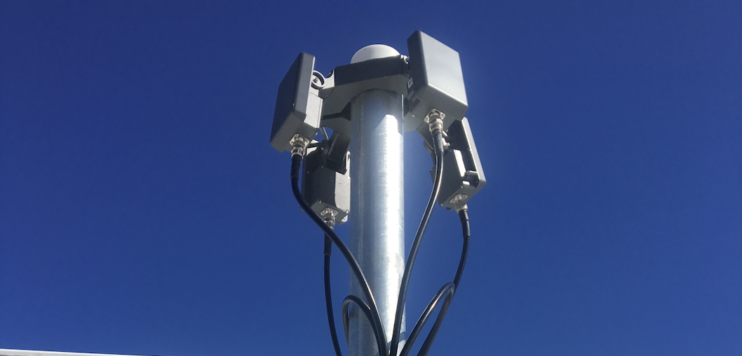
Most solutions like this are priced with enterprise budgets in mind, which can leave some cities with limited coverage and gaps in their airspace. AirSight Metro changes that with a distributed network of three Remote ID sensors, which provides drone detection coverage with minimal infrastructure. If you already have drone detection sensors, there’s no need to start over. Get in touch and we’ll prepare a custom quote.
Here are some other core features you get with AirSight Metro. ADS-B data from manned aircraft appears on the same map as your drone detections. Expanded Nationwide Drone Search is also included, so once a drone is detected in your zone, you can look up its ID in the AirGuard national database and see its history mapped across the country.
With AirSight Metro, every local government department, from police and fire to EMS, sees the same real-time picture of what's flying overhead. The price is $13,950 a year, billed annually on a three-year plan.
A Drone Was Spying on Chester County Homes. Here's Why Airspace Awareness Matters
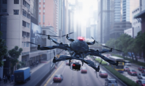
For months now, a drone has been spotted flying over residential neighborhoods in Chester County, Pennsylvania, and authorities say it may be photographing the insides of people's homes. As of PhillyVoice's August 13 report, the operator still hadn't been identified, and police are working to track down whoever's been flying it.
Under Pennsylvania law, it's illegal to knowingly use a drone to surveil a place where someone has a reasonable expectation of privacy, like their own home. This is exactly the kind of situation AirSight Metro is built for. With full airspace awareness, security operators can spot these broadcasting drones and their pilots, and step in before it escalates into something worse.
Inside AirSight Metro: What the Citywide Airspace Platform Actually Delivers
Built on three Remote ID sensors and minimal infrastructure, AirSight’s Metro lets authorities instantly tell an authorized drone from an unauthorized one. Already have drone detection sensors? There is no need to start over. Get in touch, and we’ll put together a custom quote.
Through its integration with AirGuard, the platform gives security operators real-time alerts with instant notifications of a drone's ID, model, detection time, and location, as well as its pilot's location, along with access to expanded nationwide drone search, records, playback and analytics reporting.
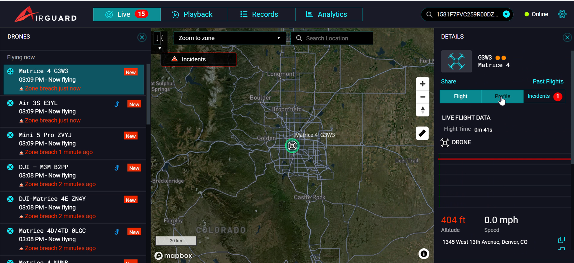
AirSight Metro also brings in ADS-B data through AirGuard. Manned aircraft show up in real time on the live map, and you can look back at past flights in the Records and Playback views. With ADS-B built in, security operators and their teams can see manned air traffic and drone detections side by side around their perimeter.
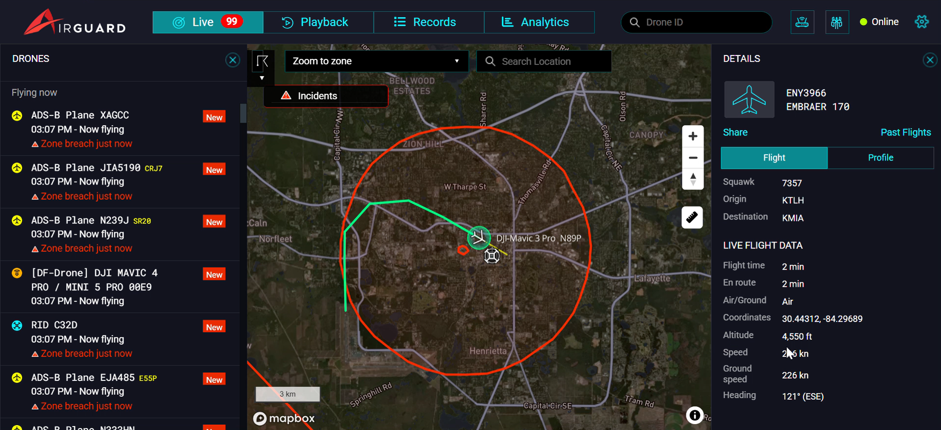
On the live map, AirGuard pulls real-time ADS-B data for each manned aircraft, including its type, altitude, speed, heading, origin, destination, and ICAO address. For forensic analysis and risk assessment, the Records page is where to go. There, security operators can see each flight's ID, altitude, start and end times, origin and destination, and the aircraft's manufacturer, type, and description. Selecting "Inspect" opens the Playback page, where they can review a recording of that aircraft's flight.
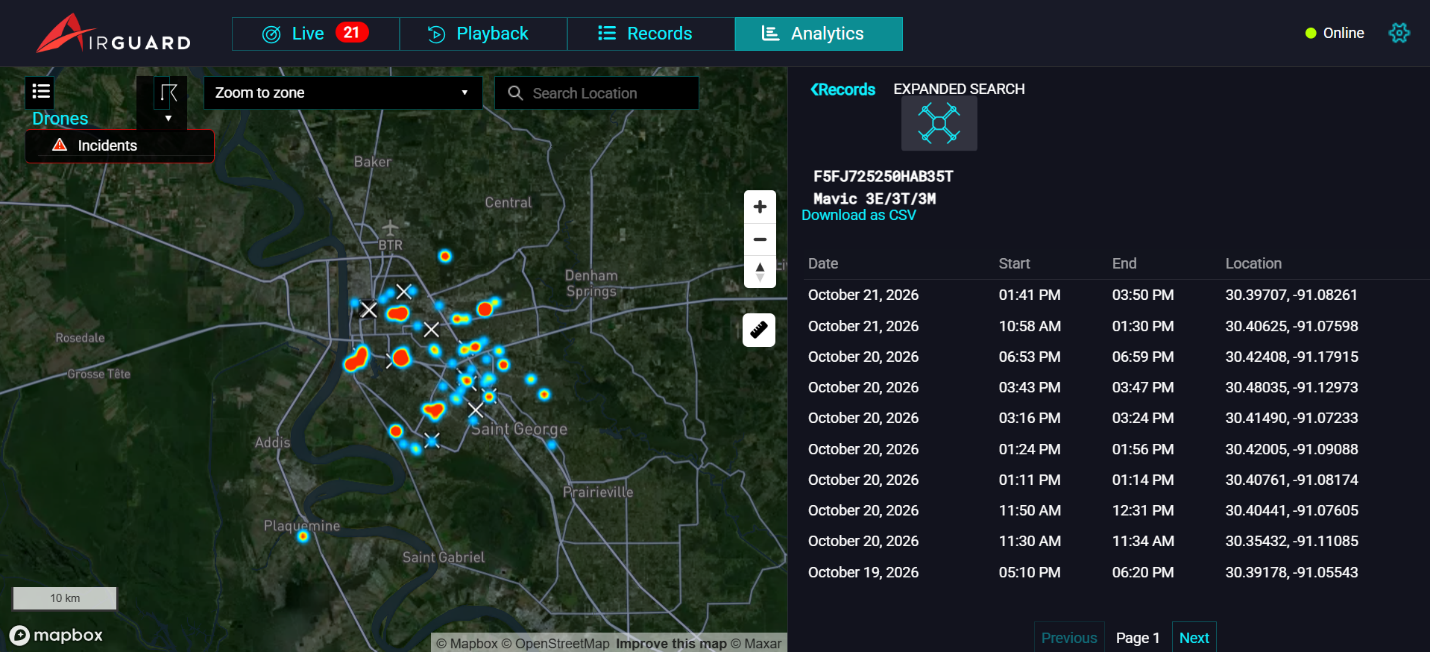
With AirSight Metro, you also get access to our Expanded Nationwide Drone Search. Once a drone enters your zone, you can look up its ID across the full AirGuard national database. You can see where that drone has appeared across zones, regardless of its assigned geo-fences. Catch repeat offenders and view a drone's detection history mapped across the country.
If your city is planning a Drone as First Responder (DFR) program, one of your first challenges will be airspace deconfliction. Your drones will fly in the same airspace as medical helicopters and other manned aircraft. To keep everyone flying safely, explore our Metro for DFR program.
AirSight Metro: Affordable Airspace Intelligence, Built for Cities, Counties and Town
AirSight Metro offers predictable pricing for citywide awareness, at a fraction of traditional detection costs, through a simple subscription with no hidden fees.
The price for AirSight’s Metro initial deployment of three Remote ID sensors with network connectivity is $13,950 per year, billed annually on a three-year plan.
The three-sensor option includes:
- Approximately 45 to 65 square miles of overlapping 360° coverage, or a custom layout built around your priorities.
- Quick deployment that needs minimal infrastructure.
- Room to scale, with the option to add sensors and expand coverage as your needs grow.
If you already have drone detection sensors, there’s no need to start over. Get in touch and we’ll prepare a custom quote.
How AirSight Metro Works: From Drone Detection to a Shared Picture of Your Airspace
- Drones flying overhead: authorized and unauthorized. Authorities need to determine whether a drone is a DFR unit feeding useful video to a response team, a delivery drone on its route, a hobbyist flying nearby, or a drone threat.
- Remote ID sensors and ADS-B data capture what's in the air. AirSight Metro offers two ways to start. You can deploy three Remote ID sensors across your city, or you can skip the hardware entirely and use the detection sensors already in place. ADS-B data or manned aircraft is also streamed into AirGuard.
- The AirGuard Cloud Platform brings it all together on one screen. Sensors securely connect to the AirGuard Cloud, where their feeds merge into one continuous, real-time picture. AirGuard also automatically displays ADS-B (manned aircraft) data alongside drone detections around your perimeter, all on a single screen.
- Real-time alerts and a live map. The moment a drone shows up, the platform pushes out an alert with its model, ID, and flight time, plus the drone's model and ID and the GPS location of both the drone and its pilot. AirGuard also pulls real-time ADS-B data for each manned aircraft.
- Historical investigation with logged flight data. With AirGuard, security operators get expanded nationwide drone search, records, and analytics reporting of every drone flight logged. Manned aircraft show up here too: the Records and Playback pages let operators review past ADS-B flights.
- Local authorities share an operational picture. Police, fire, and EMS work from one shared live view of the airspace, so every call is backed by data rather than guesswork.
This is what AirSight Metro gives security operators and authorities: a process that turns moments of pressure into confident, controlled action.
Built Around How Municipal Authorities Work
AirSight Metro is specially designed for police departments, fire stations, emergency management agencies, counties, and other local authorities. It gives local authorities a clear view of the airspace so they can keep it managed safely and effectively.
“AirSight Metro gives cities, counties, and towns affordable, citywide airspace awareness. Because drones and manned aircraft appear together on one screen, teams can see everything flying overhead and tell an authorized aircraft from an unauthorized one, past or present. The platform makes local airspace a source of actionable intelligence that improves public safety and emergency response.”
- Robert Tabbara, Founder & CEO, AirSight.
See for yourself how AirSight Metro delivers instant, citywide airspace awareness at an affordable, predictable price, and choose the option that's right for your airspace's safety.