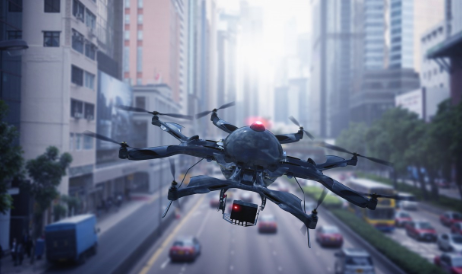
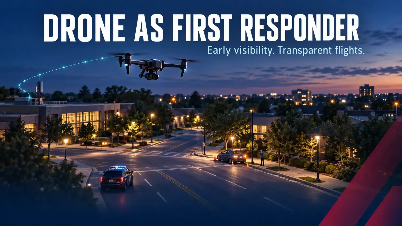
Drone as first responder (DFR) is a public safety model in which a police drone is dispatched to a 911 call, often reaching the scene before officers and streaming live video to dispatchers and responders. DFR gives agencies eyes on an incident within minutes, helps them send the right resources, and keeps officers and residents safer. Cities and suburbs across the country are adopting it, and the programs that earn lasting public support share one trait: transparency.
At AirSight, we support police drone programs in two ways. AirGuard provides independent third-party tracking that makes an agency's drone flights transparent to the public, and AirSight x Skydio connects drone detection directly to DFR response. Here is how DFR programs work and where AirSight fits.
How a Drone as First Responder Program Works
-
Drones wait in place. DFR programs station drones in charging nests at strategic locations around a city, ready to launch the moment they are needed.
-
A call comes in. When a 911 call is received, an operator dispatches a drone toward the scene.
-
The drone arrives first. The drone often reaches the incident before officers, firefighters, or EMS, and streams live video to dispatch and responding units.
-
Responders arrive informed. With a live picture of the scene, the agency can decide what resources are needed and send officers in with better information.
The National League of Cities describes DFR as the ability to dispatch a drone to 911 calls so operators can see what is happening before officers, firefighters, or EMS arrive.
Why Cities Are Adopting Police Drones
-
Faster response. A drone can be over an active incident while units are still on the way, giving dispatch and field teams information sooner.
-
Smarter resource decisions. Live video helps agencies triage calls and send the right people and equipment.
-
Safer outcomes. Seeing a scene first reduces unnecessary risk for responders and residents.
-
More reach for every officer. The National League of Cities has described drone technology as a force multiplier for agencies facing recruitment and retention challenges.
Transparency: The Foundation of a Trusted DFR Program
The most successful police drone programs explain what they do and why. An October 2026 article published by the National League of Cities highlighted agencies that communicate proactively about their DFR programs, including Wichita Police Department's transparency dashboard, and an NLC session for cities considering DFR stressed the need for a plan for privacy, transparency, and public trust.
AirGuard makes that transparency practical. It provides third-party tracking of every flight in an agency's program and lets the agency share flights with stakeholders, including the flight date, flight path, flight duration, locations visited, and flight purpose. The City of Chula Vista chose AirGuard to provide third-party tracking for all of its police department's drone flights, and the department publishes its flights on its website after 24 hours, so residents can see the purpose of every operation (case study). Learn more about transparent drone programs with AirGuard.
Where Drone Detection Fits in DFR
DFR drones are not the only drones over a city. When an unauthorized drone appears near an event, a facility, or an incident scene, agencies need to know where it is and who is flying it. AirSight x Skydio connects the two in five steps:
-
Detect. Remote ID, radio frequency, radar, and electro-optical and infrared cameras catch the drone as it enters the airspace.
-
Enrich. AirGuard compiles the drone's make and model, the real-time GPS locations of the drone and its pilot, altitude, and full flight path.
-
Alert. The enriched alert pushes automatically to Skydio's DFR Command Platform, delivering what the operator needs within seconds.
-
Deploy. The operator reviews the threat data and launches a Skydio autonomous monitoring drone to the exact location.
-
Assess. The Skydio drone streams live visuals, so officers can act with clarity.
No manual handoff, no lost minutes. Read the AirSight x Skydio announcement for the full story.
Building a DFR Program: What Agencies Need
According to the National League of Cities, DFR programs require detailed setup across drone equipment, software systems, training, Federal Aviation Administration approval, and ongoing operation and maintenance. Successful agencies add two more pieces:
-
A transparency plan. Decide what flight information the public will see and when, and use independent tracking such as AirGuard to back it up.
-
Airspace awareness. Detection of unauthorized drones protects DFR operations and the public, and connects directly to response through AirSight x Skydio. Agencies adding drone detection can also explore the FEMA Counter-UAS Grant Program and the new authority described in our SAFER SKIES Act explainer.
Why Agencies Choose AirSight
-
Proven transparency. AirGuard's third-party tracking supports the public flight program of the Chula Vista Police Department.
-
Detection to dispatch. AirSight x Skydio moves a detection straight into Skydio's DFR Command Platform.
-
The pilot's location. AirGuard shows the live GPS locations of a drone and its pilot on one dashboard.
-
An open platform. AirSight's hardware-agnostic approach fits the sensors to each city's needs.
-
Support that stays. In-depth training and 24/7 support for every team.
See drone detection for law enforcement.
Bring Transparency and Speed to Your Drone Program
Drone as first responder is changing how agencies answer calls for service. The programs that last pair speed with transparency and protect the airspace they operate in. AirSight helps agencies do all three, from independent flight tracking to detection that dispatches a Skydio drone in seconds.
Building or expanding a DFR program? Book a demo with our team.
Related reading: