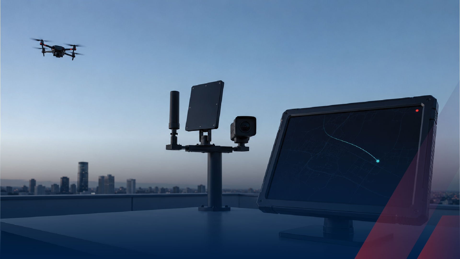
Anti-drone systems work through a five-step sequence: sensors continuously scan the airspace for signs of a drone, classification software determines that a detection is actually a drone and identifies its type, localization fixes where the aircraft and often its pilot are, fusion merges every sensor's view into one confident picture, and a decision layer turns that picture into action, an alert, a dispatch, a documented case, or, for the small number of certified agencies allowed to go further, a mitigation. Every anti-drone technology on the market is performing some part of that sequence, and understanding the sequence is what makes the market legible.
This guide walks each step in plain language: what physically happens, which technology does the work, where the process breaks down, and where the law draws its lines. It is the how-it-works companion to our complete counter-UAS guide and the systems view in what a complete C-UAS stack includes.
Step 1: Sensing the Airspace
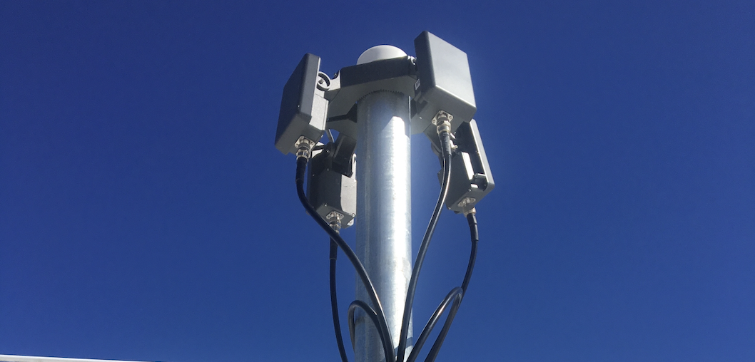
Everything begins with perception, and anti-drone systems perceive in two fundamentally different ways. Passive sensors listen: radio frequency receivers monitor a wide spectrum, typically 433 MHz to 5.8 GHz, for a drone's control link, video feed, and Remote ID broadcast, emitting nothing themselves. Active sensors probe: radar transmits radio energy and reads the reflection off the airframe, sensing the drone as a physical object regardless of whether it transmits. The US Government Accountability Office identifies these two as the most common detection technologies, with cameras and acoustic sensors in supporting roles. Sensing runs continuously, because a system that must be told to look is not a security system.
Step 2: Classifying the Target
A raw detection is ambiguous: a radio signal might be Wi-Fi, and a radar return might be a bird. Classification is the step that resolves it. On the radio side, the system matches detected transmissions against a library of known drone communication patterns, every drone family speaks a recognizable dialect, which is how a system reports a specific consumer quadcopter model rather than an anonymous emitter. On the radar side, micro-Doppler analysis reads the distinctive signature of spinning rotor blades, which is what separates a drone from a bird of the same size. Classification quality is the difference between a system operators trust and one they learn to ignore.
Step 3: Locating the Drone and Its Pilot
Knowing a drone exists is not knowing where it is. Radar produces the positional track directly, measuring range, bearing, and altitude on every revisit and building the continuous flight path that reveals behavior, covered in our guide to drone tracking. Radio localization uses geometry: directional sensors measure the bearing a signal arrives from and triangulate across multiple units, while time-difference systems convert the tiny gaps in when a transmission reaches synchronized sensors into a position fix, the same approach public safety agencies use for real-time geolocation.
The detail that matters most operationally: a control link has two ends, so the same radio math that locates the drone locates the person flying it. For correctional facilities facing contraband deliveries, the pilot's coordinates are the arrest. No other step in the sequence produces that, and our RF drone detection guide explains the mechanics in depth.
Step 4: Fusing Everything into One Picture
A multi-sensor system without fusion is three separate alarms describing one drone. The fusion step correlates every feed, the radar track, the radio identification, the camera confirmation, into a single target with a single history, and it is where false alarms actually get solved: a radar return that might be a bird becomes a confirmed drone when a matching radio protocol appears on the same bearing, and a compliant delivery drone broadcasting Remote ID on a known route gets filtered instead of escalated. Fusion is the least visible step and the one that decides whether the system is operationally survivable, which is why our drone detection technology guide treats it as a technology in its own right.
Step 5: Deciding and Acting
The sequence ends with a human decision, and what actions are available depends entirely on who you are. For every organization, the lawful outputs are the alert routed to a responder, the dispatch toward a located pilot, the documented track handed to law enforcement, and the accumulated record that supports FAA flight-restriction petitions and prosecutions. Designing that workflow before the first incident is the subject of our drone monitoring guide.
For certified public agencies, a mitigation branch now exists: under the federal rule effective July 1, 2026, state and local law enforcement and correctional agencies certified at Tier 2 through the FBI's training center may disrupt, seize, or take control of a drone posing a credible threat, using only equipment on the federal Authorized Lists. The sequence dependency is explicit in the law: the credible-threat determination that authorizes action is built from the detection, classification, and tracking steps above. Our drone mitigation guide covers who qualifies and how.
Where the Sequence Breaks: What Anti-Drone Systems Cannot Do
Honest limits, because every step has one:
-
Radio sensing fails against silence. Autonomous drones on pre-programmed routes and fiber-optic drones, now fielded in more than 80 models, transmit nothing to hear. Radar carries the sequence alone against them, with no make, model, or pilot attached.
-
Classification depends on its library. A novel or modified control link registers as an unidentified emitter at best, which is why library depth and update cadence are real evaluation criteria.
-
Localization needs geometry. One sensor gives presence or a bearing; a pilot position requires multiple sensors placed deliberately around the site.
-
Jamming-based products have a legal wall and a technical one. Private jammer use carries FCC penalties up to $112,500 per act, and jammers cannot touch a drone with no radio link in the first place.
-
No system removes the human. The sequence produces a confident picture and a set of lawful options. Someone still has to own the decision at 3 a.m., and the systems that work are the ones designed around that fact.
The Sequence at Work: One Incident, Ninety Seconds
Here is the whole pipeline in a single realistic incident at a correctional facility. 02:47:10, a radio sensor detects a control-link pattern rising above the noise floor northeast of the perimeter: sensing. 02:47:14, the signal matches a known consumer quadcopter protocol in the library, and radar confirms a small airborne object with a rotor signature on the same bearing, not a bird: classification. 02:47:30, the radar track shows the aircraft inbound at 180 feet toward the housing units while two direction-finding sensors cross their bearings on the control signal and fix the pilot in the tree line across the access road: localization. 02:47:32, the fusion layer merges all of it into one target card, one aircraft, identified, tracked, pilot position attached, and because the zone is critical, the alert escalates instead of logging: fusion.
02:47:40, the on-duty sergeant's phone sounds, the screen shows the track and the pilot pin, and a patrol rolls toward the tree line while the system records every second of the flight path for the case file: decision. By 02:48:40 the drone has turned back and the patrol is approaching a person holding a controller. Nothing was jammed, nothing was shot, nothing federal was violated, and the facility has an arrest, a documented incursion, and a stronger grant application than it had two minutes earlier. That is the sequence working as designed.
The Sequence Is the System
Sense, classify, locate, fuse, decide. Every anti-drone technology on the market is a component of that sequence, every marketing claim can be tested against it, and every gap in a proposed system is a missing step in it. Buyers who hold the five steps in mind stop comparing boxes and start comparing how completely each option executes the sequence at their site.
We believe the sequence view also explains the category's most important truth: the decision at the end is only as good as the steps beneath it, which is why detection quality, not mitigation hardware, is where serious programs invest first. What that costs is in our total cost of ownership guide, and the end-to-end practical walkthrough is in our complete guide to detecting drones.
Want to see the full sequence running against live airspace at your site? Talk to our team about a demonstration and site survey.
Related reading: