Radio frequency drone detection finds drones by passively listening for their transmissions, and it is usually the first sensor a facility deploys: license-free, always-on, and uniquely able to identify a drone's make and point toward its pilot. But between the datasheet and the deployment sits a set of questions every buyer eventually asks. How far does it really reach? How precisely does it locate a drone? And what does it miss? The honest answers decide whether an RF deployment delivers airspace awareness or a false sense of it.
This guide is the evaluation companion to our explainer on how RF drone detection works. Here the focus is performance: the ranges you can actually expect, the factors that degrade them, the difference between detecting a drone and locating one, the library problem nobody puts on a spec sheet, and the checklist that separates a serious RF drone detection system from an expensive antenna. We deploy these sensors for a living, so the numbers below are the ones we stand behind in site surveys, not the ones printed for trade shows.
What Radio Frequency Detection Actually Measures
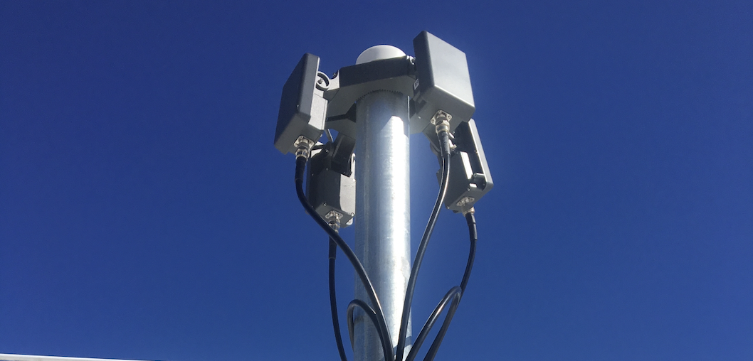
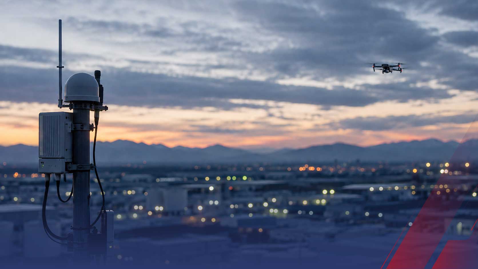
A quick foundation, because every performance question traces back to it. An RF sensor is a passive receiver monitoring a wide spectrum, typically 433 MHz to 5.8 GHz, in all directions at once. It detects three kinds of drone transmissions: the command link between aircraft and controller, the video downlink, and the Remote ID broadcast that FAA rules require of most drones. Detection happens when a received signal matches a known drone pattern; identification happens when the pattern matches a specific protocol in the sensor's signature library. Everything the system tells you, presence, make, model, bearing, pilot location, is derived from those received signals. Which means everything the system can do is bounded by the signals it can hear, and that boundary is where range, accuracy, and limits all live.
Real-World Range: What to Expect
Typical performance for professionally deployed sensors runs 2 to 3 miles for Remote ID reception and 3 to 5 miles for RF and directional sensors, omnidirectionally. Those are honest field numbers, and the variation inside them is not vendor hedging. RF range is a function of the transmitter, not just the receiver: a drone with a strong video downlink announces itself much farther away than one with a low-power control link, and a drone broadcasting Remote ID is detectable at whatever distance that specific broadcast carries.
What datasheet ranges quietly assume is open terrain and a quiet spectrum. Real facilities have neither, which is why the range question is answered properly by a site survey and never by a brochure. The practical planning rule: treat published range as a ceiling, expect your environment to price in a discount, and design sensor placement for the coverage you need at the discounted figure.
What Degrades RF Performance
Four factors do most of the damage, and every serious deployment plans around them:
-
Spectrum congestion. Drones share their bands with Wi-Fi, Bluetooth, and everything else in the 2.4 and 5.8 GHz neighborhoods. Dense urban RF environments raise the noise floor, and a noisy floor shortens the distance at which a drone's signal stands out.
-
Terrain and structures. RF propagation is line-of-sight biased. Buildings, terrain masking, and metal structures create shadows in coverage, which is why sensor height and placement matter as much as sensor count.
-
Low-power and intermittent links. Detection confidence degrades when links transmit at very low power, hop aggressively, or transmit only intermittently, exactly the behaviors more sophisticated operators choose.
-
Novel waveforms. A signal the sensor hears but cannot match to its library registers as an unidentified emitter at best. The US Government Accountability Office has cautioned that detection technologies have a limited ability against small UAS and that interference can generate false detections, and the RF-specific version of that caution is the library gap.
Localization Accuracy: A Bearing Is Not a Position
Buyers routinely conflate two very different capabilities, and vendor marketing rarely corrects them. A single omnidirectional RF sensor tells you a drone is present within range. A single directional sensor adds a bearing, a line pointing toward the signal. Neither is a position. Position, for the drone and critically for its pilot, comes from geometry: multiple direction-finding sensors triangulating their bearings, or time-synchronized sensors converting arrival-time differences into a fix through TDOA. Public safety deployments demonstrate the pattern, using multiple networked receivers to produce real-time geolocation through triangulation.
The procurement consequence is direct: if the mission requires locating a pilot, dispatching a patrol to coordinates, supporting an arrest at a correctional facility, the budget is for a sensor array with deliberate geometry, not a single box on the tallest roof. One sensor buys awareness. An array buys evidence.
The Hard Limit: Drones That Transmit Nothing
Every RF performance discussion ends at the same wall: a listening sensor cannot detect a silent aircraft. Autonomous drones flying pre-programmed routes carry no live link to hear. Fiber-optic drones, now fielded in more than 80 models, run their control signal through a physical cable that emits nothing. Operators who cut or minimize emissions shrink their signature toward zero. Against all of these, radio frequency drone detection does not degrade. It goes blind entirely.
This is not a reason to skip RF. It is the reason RF is a layer rather than a system. The sensor that covers the silence is radar, which detects the physical airframe regardless of emissions, and the architecture that makes both useful is fusion into a single operating picture, covered in our guide to how a complete drone detection system works.
The Legal Boundary: Listen, Don't Decode
One limit is legal rather than physical, and it belongs in every evaluation. Passive RF sensing, receiving signals and analyzing their patterns, timing, and direction, is lawful for any organization and requires no license or certification. Systems that decode the content of private control links to extract telemetry are a different matter: the joint DOJ, FAA, DHS, and FCC interagency advisory on UAS detection technology warns that capabilities which access or intercept drone communications may implicate federal surveillance statutes. Localization by bearing and arrival time never reads a message, so it stays clean, and it keeps working against encrypted links because it never needed the content in the first place. Remote ID, a public broadcast designed to be received, is always fair game. When comparing systems, ask each vendor which side of that line their identification method sits on.
The Buyer's Checklist for an RF Drone Detection System
Seven questions that surface the differences spec sheets hide:
-
1. Library depth and cadence. Which drone protocols does the signature library cover, and how often is it updated? The library is the identification capability.
-
2. Localization method. Presence-only, bearing, or true position? If position: direction-finding triangulation or TDOA, and how many sensors does your site geometry require?
-
3. Legal basis of identification. Pattern analysis and Remote ID reception, or content decoding? Get the answer in writing.
-
4. Verified range at your site. Insist on a site survey with your terrain and your RF environment before accepting any coverage claim.
-
5. Silent-drone coverage plan. What is the radar and camera path when RF hears nothing? A vendor with no answer is selling a partial system as a whole one.
-
6. Fusion and reporting. Does the sensor feed a single operating picture with time-stamped records that support law enforcement handoff and, for agencies pursuing SAFER SKIES authority, the credible-threat documentation the framework requires?
-
7. Funding path. Detection equipment, including RF sensors, qualifies at 100 percent federal cost share under the FEMA Counter-UAS Grant Program for eligible public agencies.
Honest Numbers Beat Big Numbers
Radio frequency drone detection is the identity layer of airspace security: miles of passive coverage, drone make and model on detection, and, with the right array, a pilot position no other passive sensor can produce. Its performance is real and so are its edges: range that depends on the drone as much as the sensor, accuracy that depends on geometry, a library that defines what it can name, and a hard blind spot for aircraft that transmit nothing.
We believe buyers are better served by those honest numbers than by ceiling figures measured on an empty test range. Specify RF for what it uniquely does, verify range with a survey instead of a brochure, buy the geometry your mission needs, and pair the listening layer with the sensors that cover its silence. That is how radio frequency detection stops being a product and becomes the foundation of a complete drone detection program.
Want verified RF coverage numbers for your actual site, not a datasheet? Talk to our team about a site survey.
Related reading: