Today, AirSight announced AirSight Metro for DFR Programs, a ready-to-integrate airspace awareness service built for teams running Drone as First Responder (DFR) programs. Whether you’re a DFR platform manufacturer, a service provider, or a public safety agency flying your own fleet, it gives you a live and historical view of the airspace around every flight. Drone detection, ADS-B feeds from manned aircraft, and Expanded nationwide drone search, all in one affordable plan. It gives you everything you need to deconflict every DFR flight and investigate drone incidents with confidence.
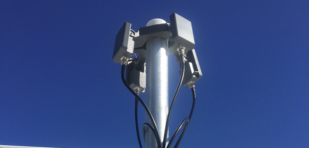
Most solutions like this are priced for enterprise budgets, which creates real challenges for DFR programs. These programs are left with limited visibility in busy airspace, no data sharing with their DFR system, and no reliable records to show what actually happened. As a result, teams operate with incomplete information and struggle to back up enforcement. AirSight Metro for DFR changes that. With its distributed network of three Remote ID sensors, you get drone detection coverage. On top of that, you get integration with your DFR system and the rest of the core features, all without the enterprise price tag.
AirSight Metro for DFR lets every DFR program launch its flights with awareness of other aircraft in the airspace, so teams can stay focused on the mission.
DFR Programs Are Scaling. Airspace Awareness Needs to Scale With Them.
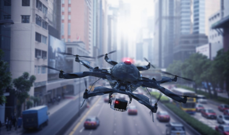
DFR adoption isn't slowing down. In April 2025, the FAA rolled out a streamlined waiver process for part 107 and part 91 drone operations, and in the eight months that followed, the agency issued more than 950 waivers, most of them to police, fire, and rescue agencies building out Drone as First Responder (DFR) programs.
That kind of growth is good news for public safety, but it puts real pressure on the infrastructure behind it. This is exactly the kind of problem AirSight Metro for DFR is built to solve: airspace awareness that scales right alongside the program.
What AirSight Metro for DFR Delivers
With AirSight Metro for DFR, you get a new network of three Remote ID sensors at an affordable price. The sensors cover roughly 45 to 65 square miles with overlapping 360° coverage, or you can arrange them in whatever layout fits your needs.
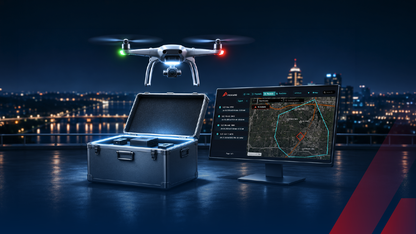
This program helps you keep every DFR flight deconflicted from other traffic. Nearby drones, manned aircraft, and your DFR fleet all appear on the same AirGuard screen. Drones come in through live detection, and manned aircraft, like medevac helicopters, come in through ADS-B. Operators see the full picture before launch and for the whole flight, so they can take off with confidence and keep a safe distance from other traffic.
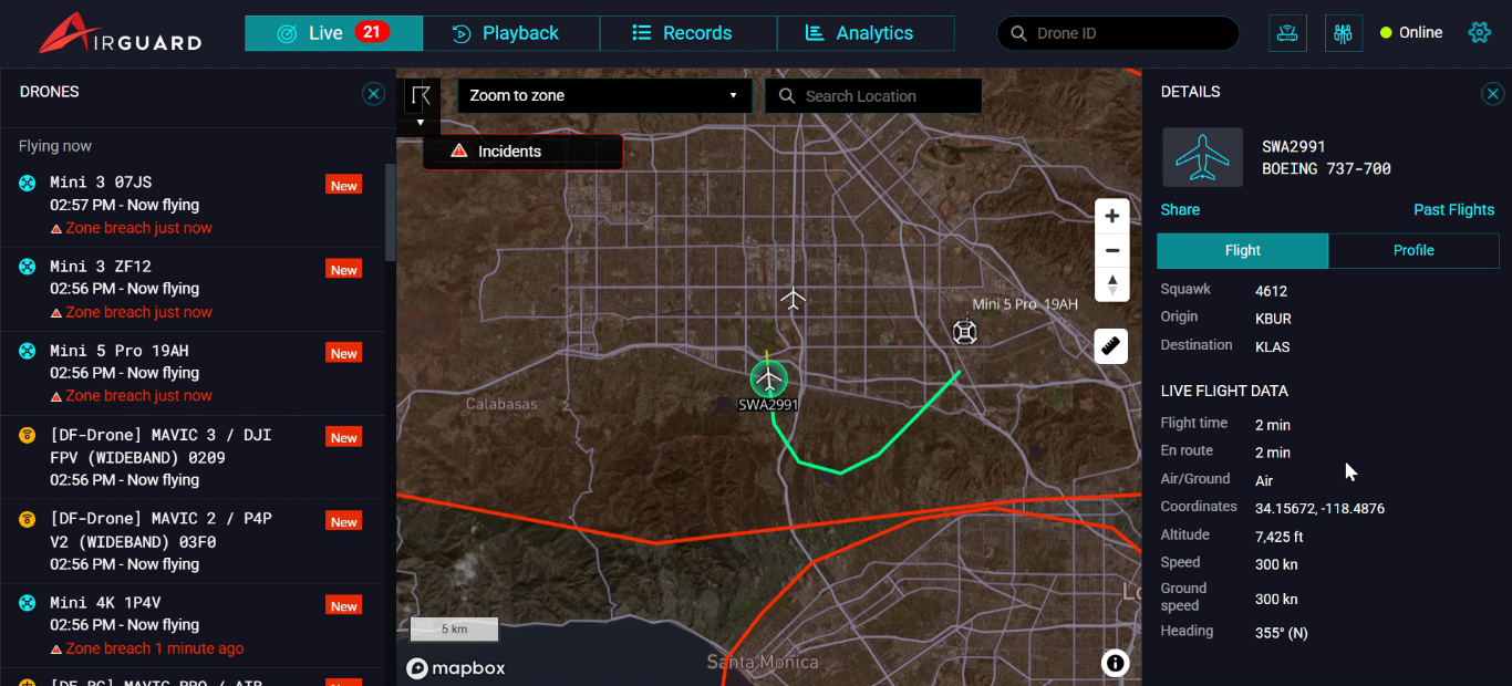
Through AirGuard, AirSight’s platform, drone detection data feeds directly into your DFR system. AirGuard detects UAV threats in real time and shares the enriched data with your DFR platform within seconds. You get the full picture: drone make and model, live drone and pilot location, altitude, and flight path. After reviewing it, the security operator can send a DFR unit straight to the threat’s exact location.
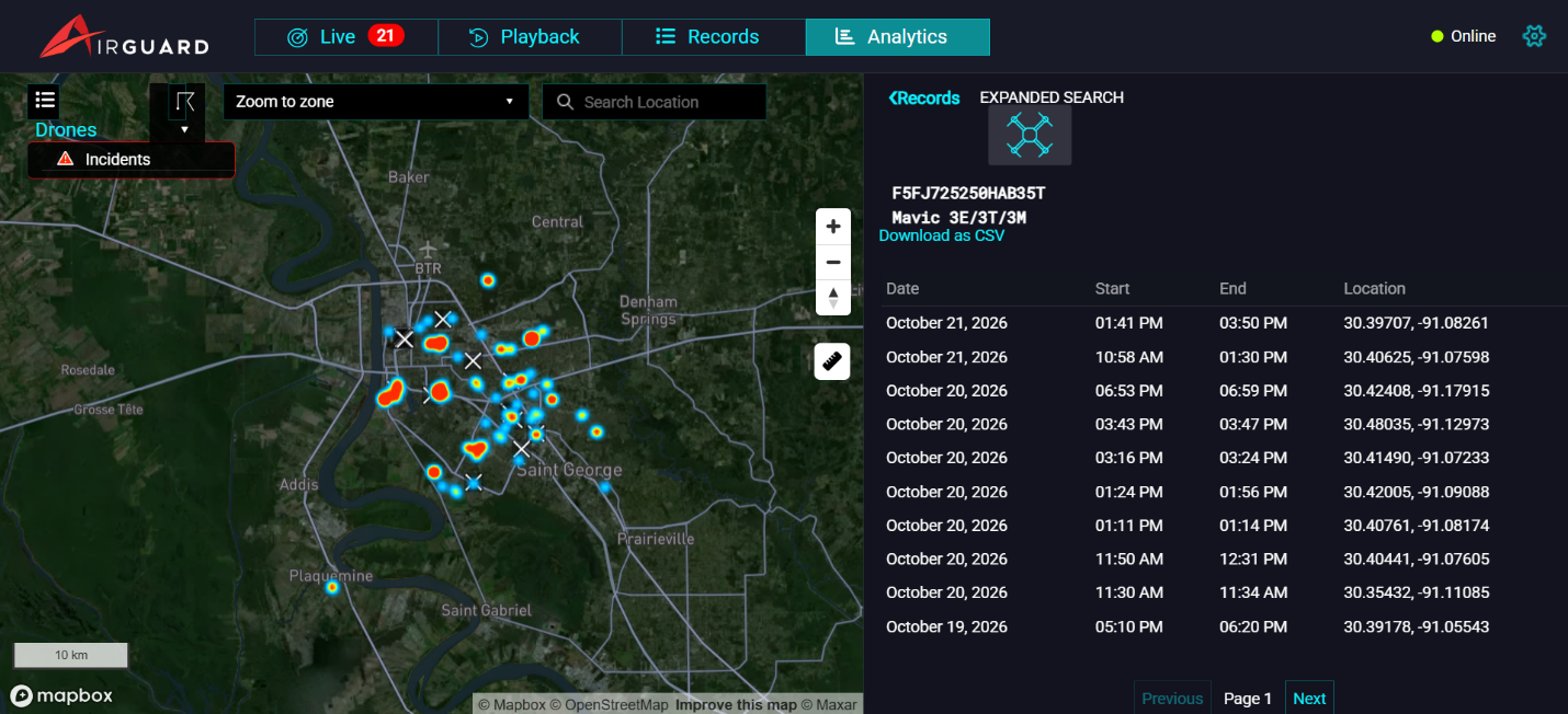
AirSight Metro for DFR also keeps records and playback for every logged drone flight and manned aircraft. To examine historical drone detection data in more detail, you can use analytics and the Expanded Nationwide Drone Search in our AirGuard platform.
You also get access to our Expanded Nationwide Drone Search. Once a drone enters your zone, you can search for its ID across the full AirGuard national database, which holds more than three years of detection data. You’ll see every place that drone has appeared, regardless of its assigned geo-fences. Catch repeat offenders and view a drone’s detection history mapped across the country.
How AirSight Metro for DFR Works: From Detection to Review of Every Flight
- Subscribe to AirSight Metro for DFR and airspace awareness coverage comes online. With three Remote ID sensors across your city, you get live drone detection. ADS-B data for manned aircraft is also streamed into AirGuard.
- Check the airspace before every DFR launch. Before a DFR aircraft takes off, operators can open the live map to see what’s already flying nearby: drones, manned aircraft, and your DFR fleet. For drones, they get live data such as model, ID, and flight time, along with the GPS location of both the drone and its pilot. Real-time ADS-B data shows the type, altitude, speed, heading, origin, destination, and ICAO address of manned aircraft. With all of that in view, your team can make a clear go or no-go call in seconds rather than guessing what’s overhead.
- Fly your DFR aircraft with live awareness. During the flight, operators can watch drones and manned aircraft around their DFR aircraft in real time, on the same map on AirGuard that they checked before launch.
- AirGuard detects UAV threats in real time and shares enriched data with your DFR platform in seconds. It sends the full picture: make and model, live drone and pilot location, altitude, and flight path. The operator reviews the data and deploys a DFR to the exact threat location.
- Review every DFR flight. Once the flight is over, the Records and Playback pages let you replay the path of any manned aircraft or drone around each DFR mission. That’s useful for incident reports, training and audits. If a drone looks familiar and has already entered your zone, Expanded Nationwide Drone Search shows everywhere it’s been detected across the country.
Built Around How DFR Teams Actually Work
DFR platform companies and public safety agencies want one thing: a complete view of the airspace on every DFR flight. That means seeing manned aircraft, nearby drones, and their own DFR fleet on a single map. They don’t want to lose visibility of today’s busy airspace. What they want is to know that every flight will be safe, so they can stay focused on the mission.
“DFR platform providers, manufacturers, and public-safety agencies already have enough to manage, so we created AirSight Metro for DFR. It gives them the airspace awareness they need to grow their programs and the deconfliction that keeps every flight safe.” – Robert Tabbara, Founder & CEO, AirSight.
See how AirSight Metro for DFR delivers instant airspace intelligence, from DFR platform manufacturers and providers scaling their customer base to agencies protecting their communities, and watch the difference for yourself.