Drone sightings are reports from people who believe they have seen a drone, and many of them turn out to be something else. Planes, helicopters, stars, and satellites can all look like a drone in the night sky. Drone detection replaces those guesses with facts: it confirms whether a drone is really there, identifies it, shows where it is flying, and often shows where the pilot is standing. For communities, that means reassurance. For security teams, it means a response based on what is actually in the air.
At AirSight, we build AirGuard, the drone detection and pilot tracking platform that gives security teams that certainty. Here is what recent waves of drone sightings have shown, why sightings are so hard to judge by eye, and how detection settles the question.
What the 2024 Mystery Drones Taught Us
In late 2024, reports of mysterious drones over New Jersey and other states drew national attention. In a joint statement on December 16, 2024, DHS, the FBI, the FAA, and the Department of Defense said the FBI had received tips on more than 5,000 reported sightings. Their assessment was that the activity included lawful commercial, hobbyist, and law enforcement drones, along with manned airplanes, helicopters, and stars mistakenly reported as drones. The agencies sent advanced detection technology to the region to help sort out what was real.
In January 2025, the White House said many of the drones had been authorized by the FAA for research and other reasons, that many were flown by hobbyists, and that reports grew as curiosity spread, as ABC News reported. Our earlier coverage of the New Jersey sightings and the federal documents released afterward follows the story in detail.
The lesson was clear. Thousands of reports were not the same as thousands of drones, and the way to tell the difference was detection.
Drone Sightings Near Airports Keep Growing
Sightings are not only a neighborhood story. The FAA keeps public records of drone sightings near airports, and they show steady growth: 568 reports from July through September 2026, up from 531 in the same months of 2025, and 1,487 in the first nine months of 2026. Each report is a moment when a pilot or controller needed to know whether a drone was really there.
Why Drone Sightings Are So Hard to Judge
-
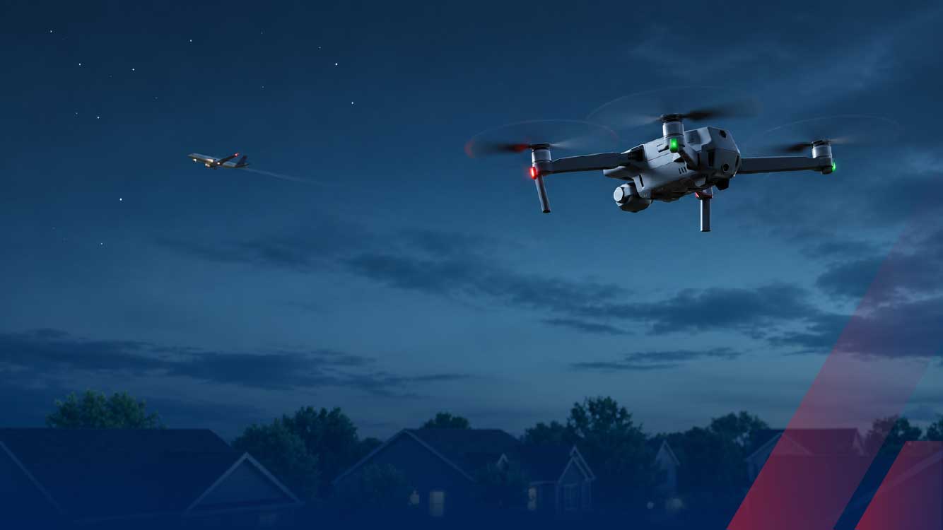
Lights at night look alike. Aircraft, helicopters, satellites, and bright stars or planets can all appear as moving or blinking points of light. Our guide to spotting a drone at night covers the visual clues.
-
Distance and size are hard to estimate. A small drone nearby and a large aircraft far away can look the same from the ground.
-
Reports multiply. When one object is seen by many people, it becomes many reports, which can make one aircraft look like a swarm.
-
Even sensors can double-count. At the 2026 World Cup, a Customs and Border Protection adviser described one command center screen showing the same drone detected three times, as FedScoop reported. Clear answers need the data to be fused, not just collected.
How Drone Detection Settles the Question
-
Confirm it is a drone. Most drones broadcast their identity and position under the FAA's Remote ID rules, and RF sensors pick up their control signals. Radar adds coverage for drones that transmit nothing, and AI aircraft classification helps separate drones from birds. Our Remote ID guide explains the broadcasts.
-
Rule out manned aircraft. AirGuard's optional ADS-B integration, powered by FlightAware, shows airplanes and helicopters on the same map as drone detections, with callsign, altitude, and aircraft type, so a light in the sky can be matched to a known flight.
-
Count each drone once. AirGuard fuses detections of the same drone from multiple Remote ID and RF sensors into a single track, so operators see one icon per physical drone and a true count of what is in the air.
-
Identify it and find the pilot. AirGuard shows the drone's make, model, and ID, along with the live GPS location of the drone and its pilot, so a sighting becomes a name and a place.
-
Keep the record. Flight History and Playback and AirGuard's analytics show every past flight, so teams can see whether a sighting was a one-time event or part of a pattern. Our guide to drone tracking explains how continuous tracks are built.
From Sighting to Certainty: Who Benefits
-
Law enforcement agencies answer residents' calls with facts, and reach the operator when a flight needs follow-up.
-
Critical infrastructure operators learn whether reports near their sites are curiosity or repeated activity. AirSight has covered how Louisiana grappled with mystery drones over critical infrastructure.
-
Venues, campuses, and airports keep operations moving because they know what is overhead, not just what was reported.
-
Communities get reassurance grounded in data, which calms concern faster than speculation.
AirGuard is built on AirSight's open, hardware-agnostic platform, which fuses data from many types of sensors into one coherent airspace picture. See it at work in our case studies.
Drone Sightings FAQ
Why am I seeing drones in my neighborhood?
Most drones in neighborhoods are flown by hobbyists, photographers, or businesses, and some are flown by police or other agencies. A Remote ID app can often show what a nearby drone is. If a drone keeps returning over your home, our guide to drones over private property covers your rights and next steps.
How can you tell a drone from a plane at night?
Planes usually follow steady, straight paths with consistent lighting, while drones can hover, change direction quickly, and fly low. Detection removes the guesswork by identifying the drone directly and showing manned aircraft on the same map.
What were the mysterious drones seen in the United States?
Federal agencies said the 2024 reports included lawful commercial, hobbyist, and law enforcement drones, along with airplanes, helicopters, and stars mistaken for drones, and the White House later said many flights had been authorized by the FAA.
Replace Speculation With Certainty
Each drone sighting raises the same question: is something really there? Drone detection answers it with evidence, from the drone's identity and flight path to the pilot's location and the full history of what flew before. That is how security teams respond faster, and how communities get answers they can trust.
Want to know exactly what is flying over your site? Book a demo with our team.