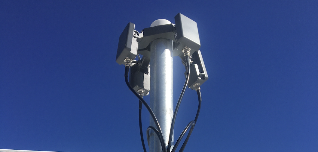
AirGuard is a drone detection software platform that provides actionable insights on the drones that are flying in your airspace. AirGuard manages data received from RF detection sensors, Radar detection sensors and other integrations like cameras, and synthesizes it in one easy to use interface.
This way, security teams don’t have to refer to multiple software screens and can be aware of all drone threats quickly. A centralized software also allows security teams to get complete data so that they can respond to threats in the best way possible.
Synthesizing data from all the sensors in one, also enables features like evidence capture and analytics that go a long way in improving day to day security at your facility.
Features that help security teams respond to drone threats:
Real Time Drone Data
When a drone is detected near your facility, AirGuard shows you info about the drone in real-time. Information includes GPS Position of Drone, GPS Position of Pilot,
Drone ID, Make and Model of the Drone, and also the Speed and Altitude at which the drone is flying. Drone information is updated every other second.
GPS Position that is updated every 2 seconds is used to display a flight path that displays the movement of the drone on a map, so that security teams are aware of where the drone is, which areas it flew over, and where it is headed.
Flight History & Playback
AirGuard saves all flights that take place in your area, and makes them accessible in the Flight History feature. Here security personnel can replay the flight path of any flight that has taken place. Users can playback the flight as if it was happening in real time, but can also pause/play, rewind, forward, slow down or speed up based on what they are looking for in a particular flight path.
Users are also able to download the flight path video and all the drone information related of a particular flight. This is crucial for when security personnel need to capture evidence for any wrongdoing.
Geo-Fencing & Alerts
A Geofence is a virtual barrier created using GPS (Global Positioning System). AirGuard’s Geofence gives customers the ability to set boundaries and create ‘alert zones’ based on your settings such as a specific block or street. AirGuard’s drone detection software issues real-time alerts (via pop-up, email, and text) for pre-defined scenarios, like a drone entering an ‘alert zone’ area. Security staff can create a variety of different SOP’s based on each location alert level needs.
Whitelists and Blacklists
AirGuard gives your security team the ability to whitelist authorized drones (Media, Operations, Inspections) to fly freely without triggering an alert in the AirGuard platform. AirGuard also lets users blacklist drones that have been banned or marked as repeated offenders. Security personnel are able to create alert rules that allow them to track blacklisted drones outside their normal ‘Alert Zones’ giving them additional time to react.
PTZ Cameras
AirGuard integrates with Pan-Tilt-Zoom (PTZ) cameras so that security teams can get a visual on the drone threat. If a drone is detected in a specific PTZ enabled area like a ‘Alert Zone’, AirGuard sends the GPS position of the drone to the PTZ camera. The camera can Pan-Tilt-Zoom to capture the visual of the drone flying in real time.
The feed from the camera is also integrated into the Airguard Platform, so you can see the visuals from the camera at the same time you are monitoring the drone threat.
Analytics
A lot of drones can fly in an area over time. Airguard analyzes all the drone data available near the area, and presents insights in the Airguard analytics section. Insights include zones that see frequent drone flights, if same drones return to your area often, average altitudes of flights and much more.
Insights from analytics can help security teams improve SOP’s designed to respond to drone threats. Data from Analytics section can also be used as feedback to validate assumptions made during design of SOP’s.
Integrations
AirGuard has REST API’s that allow it to integrate with many 3rd party integrations. Common integrations are ones that integrate with a central alarm system, with incident management software like 24/7. For some specific use cases, AirGuard can integrate with data from tools like ADS-B and LAANC.
Integrations allow security teams to tailor the AirGuard platform and use it in a way that makes most sense for their organization.