
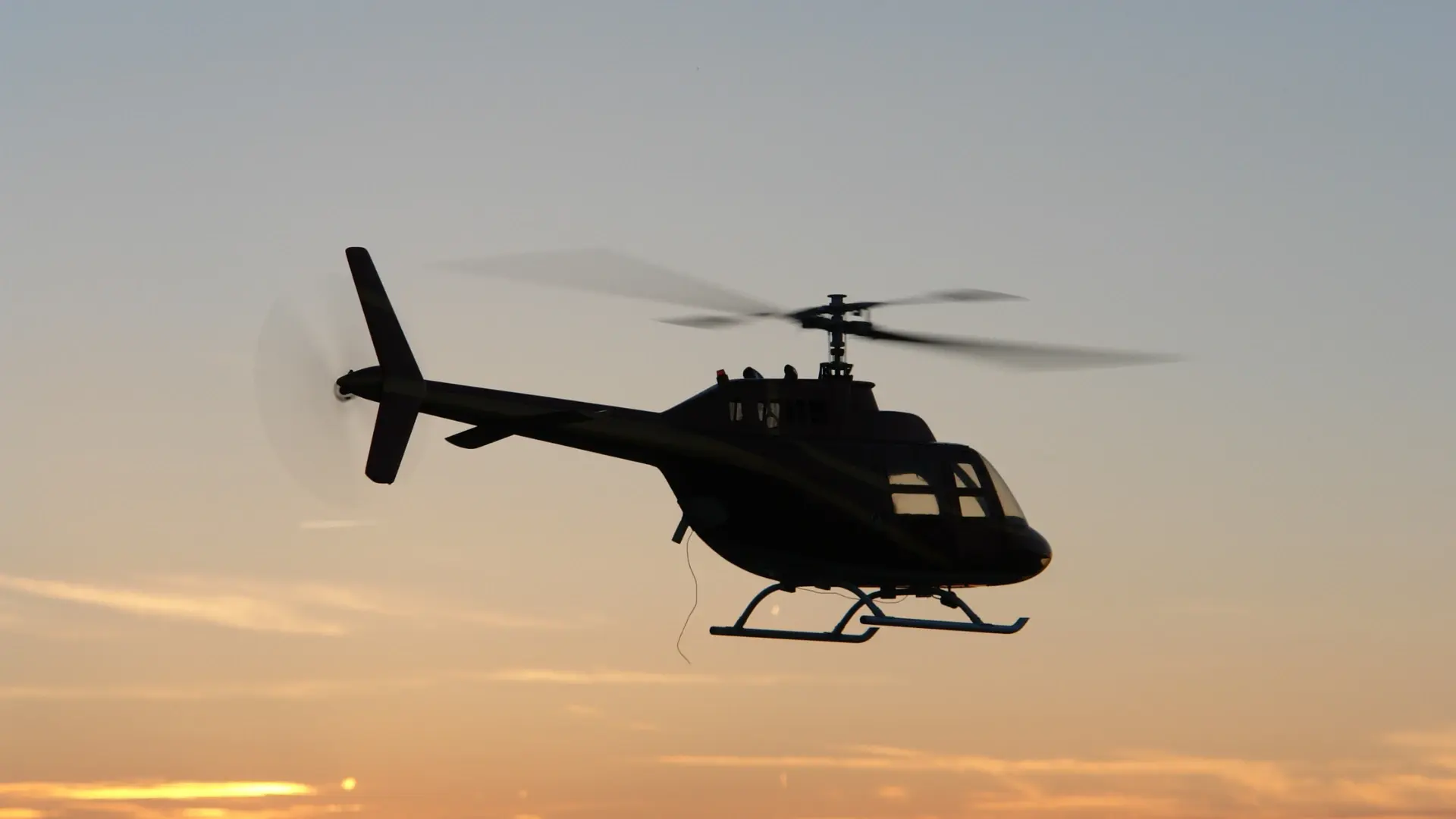
A recent event in Texas serves as a stark reminder of the growing risks in our skies. As first reported by KPRC 2 in Houston, a rescue helicopter involved in critical flood recovery efforts in Kerr County was forced to land after a collision with a civilian drone. The incident, which thankfully did not result in injuries, nonetheless put first responders in danger and sidelined a crucial piece of rescue equipment during an active disaster response.
According to the report, local officials described the event as “entirely preventable,” noting that a Temporary Flight Restriction (TFR) was already in effect to keep private drones clear of the area. This highlights a dangerous gap in airspace security: rules and restrictions are only effective if they can be enforced, and pilots of manned aircraft cannot be expected to spot small, fast-moving drones in time to avert a collision.
This incident is a textbook example of a problem that technology is now equipped to solve. The core issue was a lack of unified situational awareness.
The Problem: A Disconnected View of the Sky
Modern airspace is occupied by two categories of aircraft operating in two separate technological spheres:
-
Manned Aircraft (Helicopters, Planes): These use a cooperative system called ADS-B to broadcast their location to air traffic control and each other.
-
Unmanned Aircraft (Drones): Many drones do not broadcast their position on any public system and require specialized detection technology to be identified.
In the Kerr County scenario, the helicopter pilot and the drone operator likely had no effective way of seeing each other. The result was a preventable accident that put lives at risk.
A complete airspace management platform like AirGuard closes this dangerous gap by integrating these two worlds into a single, clear picture. The AirGuard platform is designed not only to detect drones but to simultaneously process ADS-B data from manned aircraft.
This creates a unified operational view where the real-time flight paths of both drones and traditional aircraft are displayed on the same map.
For a command center managing the Kerr County rescue efforts, this capability would have changed the outcome entirely:
-
Early Warning: The moment the unauthorized drone entered the restricted flight zone, security operators would have received an alert.
-
Contextual Awareness: On their screen, they would have seen the drone's track and the rescue helicopter's ADS-B track simultaneously. The system would make the potential for conflict immediately obvious.
-
Informed Response: Rather than reacting to a mid-air collision, the ground team could have proactively addressed the drone threat—by dispatching ground personnel to the pilot's location or initiating other countermeasures—long before it posed a danger to the helicopter.
The Kerr County incident is a powerful lesson in the necessity of proactive airspace management. As our skies become more crowded, ensuring the safety of manned and unmanned operations alike depends on having a complete, unified view of all aerial activity. It’s about creating an environment where the "entirely preventable" never happens in the first place.
